")
")
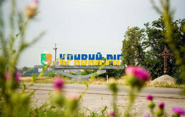
GEOGRAPHICAL LOCATION
Kryvyi Rih is a city located in the steppe zone of Ukraine, in the central part of the Ukrainian crystalline massif, at the confluence of the Ingulets and Saksagan rivers, which are part of the Dnipro river.
The city is located in moderate latitudes. From the equator - in the northern hemisphere, from the Greenwich (zero) meridian - in the eastern hemisphere. The exact coordinates are absent, because the city is stretched to an almost submeridional direction for several tens of kilometers.
The area of the city is 430 square kilometers, the length from north to south - 126 km, width - up to 20 km.
The distance from Kryvyi Rih on the straight line to Dnipro is 137 km, to Kyiv - 345 km, to London - 2 160 km, to Paris - 2741 km, to Berlin - 1,777 km, to Brussels - 2 531 km, to Moscow - 962 km, to Washington DC - 8 650 km.
CLIMATE CONDITIONS, MINERALS
Kryvyi Rih is located in the central part of the Ukrainian crystalline massif. In the geological construction of the city and its environs are quaternary loams with a thickness from 3 to 25 meters, which are bedded with Neogene clay, sand or cracked limestone, with a thickness from 5 to 11 meters. Over the Neogene deposits lay Precambrian crystalline rocks (granites) that extend to the surface in the valleys of the rivers.
Ordinary chernozems are the main genetic group of soils in the suburban area. Also, are represented the meadow-chernozems and meadow-salt soils.
The city is located in the steppe zone of Ukraine, at the confluence of the rivers Ingulets and Saksagan, which are part of the Dnipro. The territory of the outskirts is divided by numerous denes (Zelena, Bereznegovata, Chervona, Makortova, Galakhova, Lozovatka, Grushevata, Petrykova, Krasna, Rokovata, Sukha, Glytava, Dubova, Vovcha, Suslova, Kobalska, Kaletina, Krutyi Yar, Pryvorotna and others). In the places of exit of indigenous rocks slopes, valleys of the rivers are steep.
The climate is moderately continental, characterized by hot, dry summers and moderately mild, with frequent flooding in winter.
Most of the precipitation falls during the warm half of the year (April-October) - 268 mm. The maximum daily precipitation (90 mm) was observed in June in 1913. During the year, the total precipitation is 730 hours. Over the past 60 years, drying are every 3 or 4 years for a decade. Strong droughts in Kryvyi Rih are once on every 5or 10 years. Strong rains are accompanied by thunderstorms and hail. Most often, thunderstorms occur in the period from May to August.
An unique microclimate of the «island of the warm» was formed over the territory of the city. The city is warmer at 1.8 ° С. This is especially noticeable in the cold period of the year. Also, more rain, fogs, often from low clouds and dust and gas emissions of enterprises and cars in the winter are formed smogs, reduced doses of solar radiation.
ADMINISTRATIVE TERRITORIAL SYSTEM
The structure of Kryvyi Rih includes 7 districts: Metallurgical, Dovhyntsivskyi, Pokrovskyi, Inhuletskyi, Saksahanskyi, Ternivskyi and Centralno-Miskyi. In the subordination of Kryvyi Rih City Council there are the villages Avanhard, Hirnytske, Kolomiitseve, Stepne, Novoivanivka and Ternuvatyi Kut.
Kryvyi Rih is a city in the Dnipropetrovsk region; the largest city in Ukraine, which is not a regional center. The population is about 648 thousand inhabitants, and together with the Kryvyi Rih agglomeration, this mark reaches a million people. The distance to the regional center is 146 km. The length of the is 126 km., the distance between the extreme points in a straight line is 66 km.
SYMBOLS OF THE CITY
The modern emblem, the seal and the flag of Kryvyi Rih were approved on February 28th, in 2007. The basis of the emblem is the Cossack powder-puffer was made from the horn, which primarily indicates the name of the city and its past as the territory of the Zaporizhzhia Sich, the legend about the founder of the city Cossack Kryvyi Rih and another version of the origin of the nameof the city - the formation of the curve of the cape (a horn) in the merger of the Ingulets and Saksagan rivers.
The main reward of the city is the breastplate «For the Merit to the City». 40 city figures have the title of its honorary citizens. In 2002 the hymn of Kryvyi Rih was recognized the song «Kryvyi Rih is my city».